The human mind is the source of all knowledge and technology development. The continuous innovation of technology has made things possible and manageable. The invention of high-quality technology has enabled humans to explore more on things that are unexplorable. Through technology, a human can be able to go beyond the surface of the Earth.
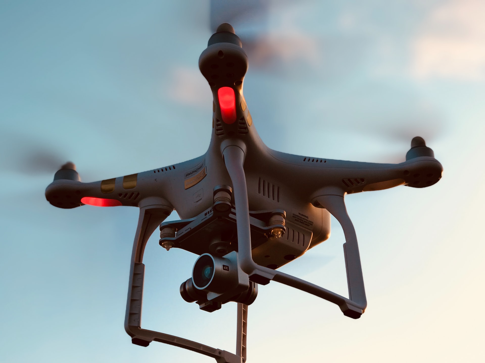
Lidar or Light Detection and Ranging, is a kind of system that can widely detect and precisely measure the Earth’s different land and water components through the light emitted from the aircraft’s sensor. Lidar integration is a total package system that provides a high-performance mapping that can detect and identify the object behavior, shape, and measurement from the above.
The high resolution of obstacle detection, scanning, and safe navigation of the sensor will provide a set of data of the large areas in an efficient time. Lidar is significantly helpful in every agency’s monitoring, data gathering, and aerial mapping. It is an appropriate device for the surveillance of the current status of the unreachable surface of the Earth.
Data Accuracy
Lidar is one of a kind remote sensing technology used to gather data from different objects and areas. The Lidar consists of features such as a laser, scanner, and GPS. A laser sensor on the device is pointed to collect and record the data coming from the reflected light of the surface. The Nextcore system offers high precision UAV Lidar solutions that are fast and easy to use. Their products are tested with durability and reliability for daily use.
The sensor measures the data collected from the laser. The generated data points from the GPS will result in a three-dimensional image that shows the concrete measurements of the surface. The 3D imagery shows the complete picture of the surface through the generated geographical models, digital elevation models, and building models.
Speed Processing
Lidar provides optimum satisfaction with accuracy and data processing speed. Lidar has an automated system that can operate independently without hands-on human interaction, enabling the quick interpretation of the gathered data that allows the quick progress of the project outcome.
Lidar system is popular with various applications, and the engineering sectors widely use it for their planning management of the project. It provides an accurate assessment model of the project, such as major road repairs, structural design, and infrastructure planning. Lidar is designed with the versatility that provides better advantages for project development.
Flexible
Lidar can be used both day and night without any disadvantages. This system is made up of high-quality material that can measure data even in challenging weather and lighting conditions. The interpretation of the collected data can be difficult at the time. But this technology allows the integration of other sensory data to be automated, reliable, and precisely interpreted data.
This technology can collect data even in static or moving objects or in high and low terrane without any image distortion. It can also provide data even in thick vegetation, such as in a heavy forest, with accurate data elevation and models. Significantly, it serves as a reliable solution to the limitation of the other technology.
Low Cost
Initiating a project is costly as it involves many processes with data gathering, assessments, land surveys, mapping, and analysis. Lidar is an affordable option for topographical surveys compared to another method. Given the speed, accuracy, and convenience, it requires experienced personnel who have deep knowledge about manipulating the sensor.
The cost of the Lidar project will still depend on the type of project, scope, location, boundary, density, deliverability, and time frame. All lidar systems have different components, particularly data optimization; the larger the datasets, the more resources you need. It is essential to plan your project thoroughly, particularly on the data gathering process.
Efficient
Experts widely use the Lidar system to examine the condition of both the manmade and natural environment with precision and accuracy. The professionals used the data to assist the emergency response operations, urban planning, forest inventory, floodplain mapping, survey assessment, calculation, and landscaping.
This technology is essential for the daily monitoring of Earths’ condition. It makes the job of the experts easier and effective. It helps the experts with land management and hazard assessment such as volcanic eruption, flood, tsunamis, floods, even in any situation such as the measurement of gases and particles in the atmosphere.
Takeaway
The changing world also requires a high-performance technology that can compensate for the fast-changing environment. The quality of the work is dependent on the performance of the technology. The presence of essential technology has made the world that we are living in today.
The presence of Lidar systems has made the job of the professionals efficient and productive. The existence of significant technology has enabled the experts to explore further the Earth’s elements that can be useful for future purposes.