What’s the future of surveying?
Here’s a dirty little secret that you aren’t going to like.
Surveying “the old fashioned way” is dying.
It’s slow. It’s expensive. It’s sometimes downright dangerous for the surveyors tasked with finding a way onto hard-to-reach terrain to get their work done.
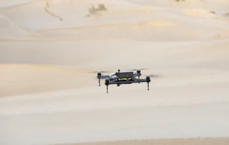
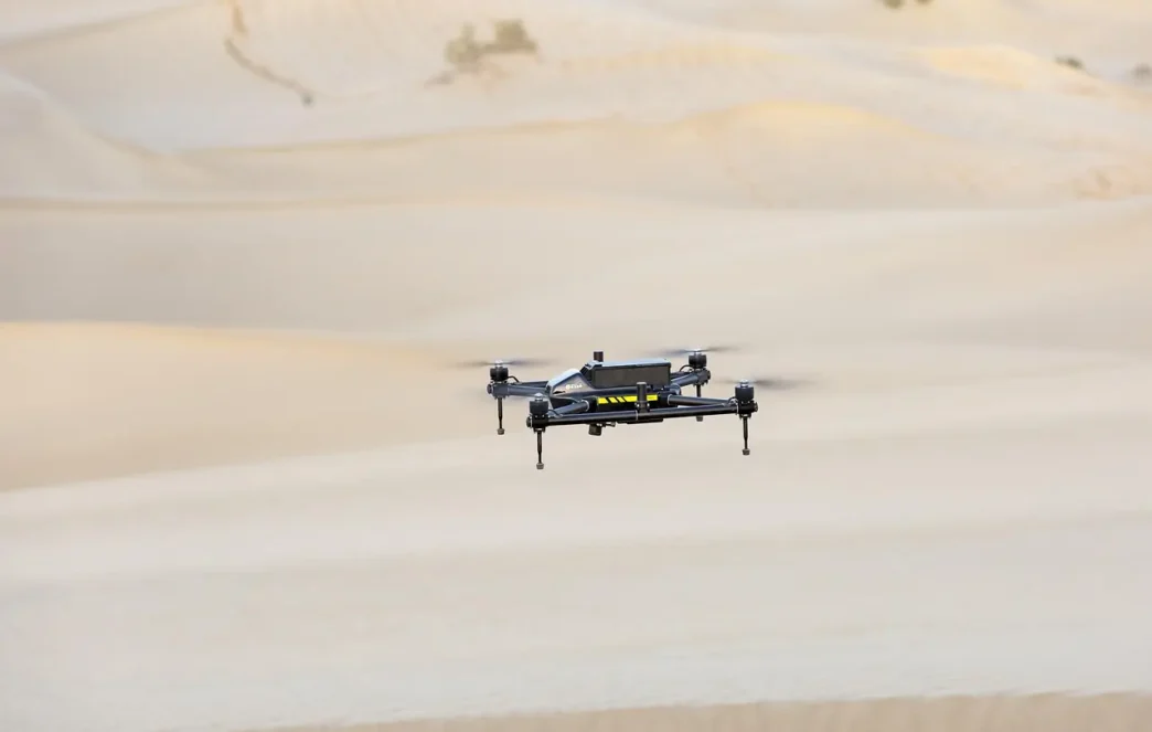
But drone technology is taking off and with it the possibility of drone-assisted advanced surveying and mapping.
The surveying and mapping industry is undergoing a technology revolution of its own and mapping and surveying apps make up 35% of service provider operations, making this the most commercially significant drone use case worldwide.
And guess what?…
It’s not a toy.
Drone mapping tools are high-tech and more powerful than ever. Precision mapping has the potential to save time and money and maybe even some lives.
So here is what we are covering in this guide:
- Why Should You Care About Drone-Assisted Advanced Surveying?
- The Technology Behind Drone-Assisted Advanced Surveying
- Top Advanced Surveying Techniques for Maximum Impact
- Advanced Drone-Assisted Mapping Considerations
- Tips for Increasing the Precision of Your Surveys
Why Should You Care About Drone-Assisted Advanced Surveying?
Move over old fashioned surveying. It’s going the way of the dodo. While companies using traditional methods grind to a halt those investing in drone technology and new techniques see massive results.
Here’s why.
State-of-the-art drones for surveying and mapping have the capability to capture data with precision that was unthinkable just a few short years ago. Coverage that can map square miles in the time it used to take a single crew member to measure a single acre.
A typical manual site survey might take weeks of tedious back-breaking work to complete. A drone can complete the same survey in hours. And not only is it faster, but the accuracy levels achieved are often higher.
Want proof?
Check out the drone surveying and mapping market. Industry data suggests the drone surveying market will grow to USD 11.49 billion by 2035 at a compound annual growth rate (CAGR) of 19.3%. Growth like that is not just market expansion. That’s a revolution.
The Technology Behind Drone-Assisted Advanced Surveying
So what is it about drone surveying that makes it so game-changing?
All the tech, of course!
LiDAR Technology
LiDAR (Light Detection and Ranging) is, by far, the biggest game-changer in advanced drone-assisted surveying. This imaging technology works by projecting light pulses toward the ground from on top of a drone.
The result?
A 3D point cloud that collects thousands of data points every second, including every building, every tree, power line, and other obstacles on the ground below. LiDAR technology can also map areas that photogrammetry can’t, like densely forested or hilly areas.
Photogrammetry
Photogrammetry is the process of using overlapping photos to create accurate 3D models and maps. Drones snap hundreds of high-quality images in a grid pattern when flying a photogrammetry mapping mission.
Processing software stitches these images together to create:
- Orthomosaic maps
- Digital elevation models
- 3D terrain models
- Volume measurements
Precision mapping with photogrammetry can rival traditional surveying methods while being significantly cheaper.
Real-Time Kinematic (RTK) & PPK
RTK (Real-Time Kinematic) and PPK (Post-Processed Kinematic) systems provide sub-centimeter accuracy for drone surveys. They work by providing real-time corrections to the drone’s GPS data.
RTK is done in real-time during the flight. PPK uses software to apply corrections to GPS data after the fact.
RTK and PPK allow for survey-grade results without needing to set up reference points across the ground, which can be time-consuming.
Top Advanced Surveying Techniques for Maximum Impact
Every project is different. Depending on what you need to accomplish, one of these advanced surveying techniques might be the right one for you.
Corridor Mapping
Linear infrastructure projects like roads, rail, and pipeline construction all benefit from a technique called corridor mapping. Corridor mapping is designed to capture data in a narrow elongated area.
The technology automatically creates a flight plan with tight longitudinal and lateral overlap to maintain consistent mapping coverage.
The result is precise data collection over an entire corridor of interest, which can be used for planning, construction and maintenance projects.
Volumetric Analysis
Construction sites, quarries, and mines require precise volume measurements that were once tricky to get. Drone-assisted volume analysis solves this problem.
Fly the drone over an area and the software will use the 3D model it creates to calculate volume.
Repeat this process over time to monitor progress or manage material stocks.
Topographic Surveys
Ground-based topographic surveys take crews a long time and are tedious to complete. Drone topographic surveys can do the same work in a fraction of the time.
Capturing elevation data across a project site, software can quickly generate contour lines, elevation profiles, and slope analysis.
Engineers get all the design and planning data they need.
Thermal Mapping
Thermal imaging cameras can be used on drones to capture thermal data.
This type of advanced drone-assisted mapping has a whole host of interesting and valuable surveying applications.
Locate moisture problems in buildings. Identify heat loss in infrastructure. Detect underground utilities by temperature differentials.
The use cases for drone thermal surveys are just beginning to be explored.
Advanced Drone-Assisted Mapping Considerations
Still not sure which technique is the right one for your projects?
Here’s how to choose…
Consider Your Project Requirements
Know what precision you need for the job. Different applications require different levels of accuracy.
Site selection might be able to get by with accuracies of ±10cm. Boundary surveys might need ±2-3cm. Construction staking jobs demand even tighter tolerances.
Start with your project needs and choose your technology to suit.
Site Conditions
Your survey environment is another consideration when choosing which technique to use. A dense canopy will make it challenging to survey with photogrammetry, but LiDAR might be able to get it done.
Factors to consider include:
- Site accessibility
- Terrain complexity
- Vegetation coverage
- Local weather conditions
- Regulatory considerations
Pick the right technique to match the conditions.
Cost and Timelines
Some drone-assisted mapping techniques are more expensive but get the job done quicker than others. Photogrammetry costs less but can require more favorable conditions and take longer.
LiDAR systems are pricier, but they work in conditions that other surveying methods can’t.
Balancing cost vs. time considerations is part of deciding which methods to use.
Tips for Increasing the Precision of Your Surveys
If you want to squeeze just a little bit more accuracy out of your drone-assisted surveys here are a few tips.
Flight Planning Optimization
Flight planning and survey precision are inextricably linked. Survey flight plans need to strike the right balance between overlap, altitude, and other parameters for the highest accuracy.
Flight plans should consider:
- Front overlap of 75-80%
- Side overlap of 60-70%
- Consistent flight altitude
- Optimized ground speed
Once you nail your flight planning, processing will go much smoother.
Ground Control Points
Adding ground control points (GCPs) to drone mapping projects can increase precision even when using RTK/PPK correction systems.
Ideally, evenly place 3-5 GCPs across a survey area at different elevations when possible.
The more GCPs the better, but there is a time cost associated with that level of accuracy.
Weather Conditions
Weather conditions play a significant role in the quality of survey data. Wind, clouds, and lighting all impact data quality and accuracy.
Avoid drone mapping in:
- High winds (above 15mph)
- Cloudy conditions (for photogrammetry-based surveys)
- Intense midday sun (produces shadows)
- Rain or fog
The best time is often in the early morning or late afternoon.
Bringing It All Together
The technology available for drone surveying and mapping is revolutionizing the surveying industry. New hardware, new software, and new approaches are combining to deliver survey results that match or surpass traditional methods.
Market trends show that change in action. The commercial construction industry reports average cost savings of up to 15% after adopting drone technology, making the business case strong.
Success lies in aligning the correct technology with the right project. LiDAR for dense, complex areas. Photogrammetry for open, flat ground. RTK/PPK for ultimate accuracy. Each approach has its strengths.
Start by understanding project needs. Choose technology to meet those requirements. Plan the survey flight carefully. Process data accurately. Precision mapping will speak for itself.
The surveying industry is changing. Change with it.