The company’s success in the GIS industry heavily depends on the right choice of software development partner. The following list of the top GIS software companies introduces reliable vendors who combine domain expertise, technical prowess, and operational excellence. The brief descriptions of the selected GIS solution providers highlight the professional focus and the key strengths of each company.
Corsac Technologies
- Core GIS Stack:
- GIS Platforms: ArcGIS, QGIS, AutoCAD,
- MapInfo Data Processing & Analysis: LiDAR, satellite imagery, analog maps, planimetry
- Data Conversion & Transformation: SHP, GeoJSON, KML, CSV, DWG, DXF, GeoTIFF Geospatial Python tools.
- Team: 50 – 249 employees
- Founded: 2007
- Location: United States
Corsac Technologies provides the perfect balance of domain-specific expertise and cutting-edge innovations. With the focus on advanced GIS software services, the company helps clients break the constraints of legacy technology and open limitless growth opportunities through strategic modernization.
The Corsac GIS software company specializes in overcoming tech stagnation and preparing businesses for further innovations, while preserving rhythm and continuity. The GIS service range encompasses tailored mapping, advanced geoprocessing, real-time visualization, and improved 2D/3D rendering.
From incremental upgrades to complete system overhauls, Corsac experts leverage AI and emerging tech in their projects to modernize GIS apps for scalability and innovation.
Radixweb
- Core GIS Stack: ArcGIS, QGIS, AutoCAD, MapInfo
- Team: 250 – 999 employees
- Founded: 2000
- Location: United States, India
GIS software development at Radixweb is one of its cloud-native and AI-empowered engineering services. The company modernizes outdated systems, making them quick, scalable, and future-oriented.
Innovative capabilities and a user-focused design are the priorities of Radixweb as one of the top GIS software providers. With over two decades of experience, the company creates geospatial solutions that bring a lasting business impact. Deep industry knowledge allows them to implement only those innovations that are justified by business goals.
GIS solutions by the Radixweb team include tailored mapping systems, spatial data platforms, and integration with existing IT systems.
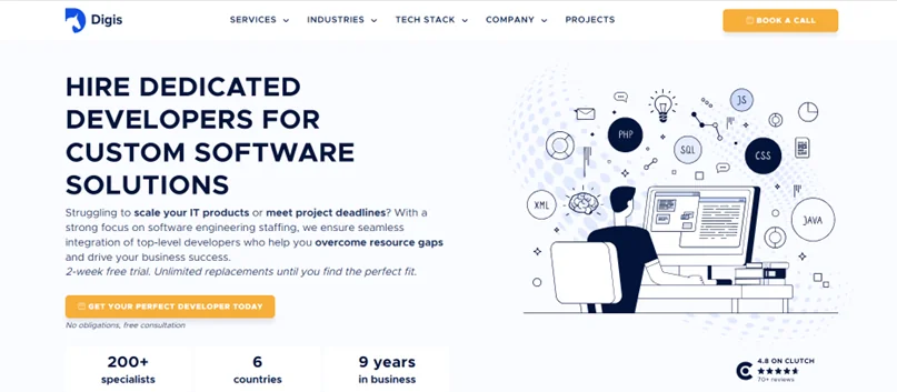
Digis
- Core GIS Stack: ArcGIS, QGIS, AutoCAD, MapInfo, Leaflet, geospatial Python tools
- Team: 50 – 249 employees
- Founded: 2015
- Location: England, Romania, Ukraine, and 4+ countries
Digis serves businesses across sectors, including GIS. Their software products drive scalability and expedite operations. The company also offers team augmentation with the patented Smart Outsourcing Automation Paradigm. This unique method uses automation to simplify developer integration into the client’s GIS staff, bringing in specialists adept in ArcGIS, QGIS, Leaflet, and geospatial Python technologies.
Digis’s core specialization areas include advanced solutions for interactive maps, spatial data platforms, and real-time location intelligence tools. GIS applications are tailored to business needs, ready to integrate with IoT, ERP, CRM, and other technologies and tools.
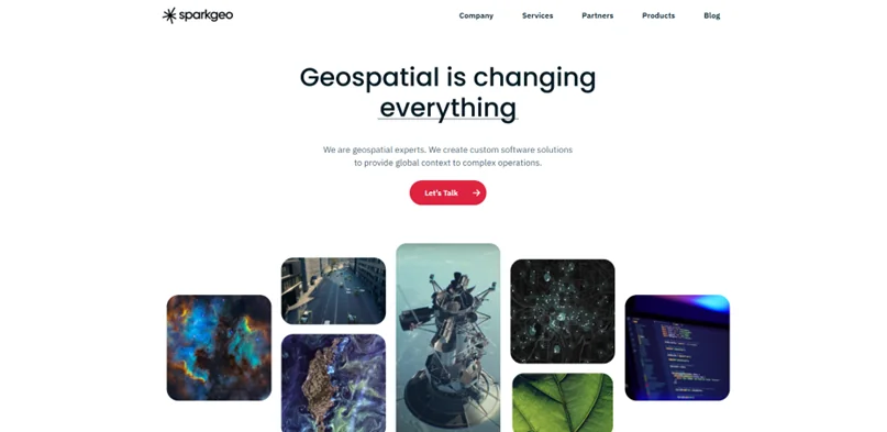
Sparkgeo
- Core GIS Stack: ArcGIS, QGIS, AutoCAD, MapInfo
- Team: 20 – 50 employees
- Founded: 2010
- Location: Canada
Sparkgeo is a GIS software company delivering geospatial consultancy and digital products to renowned industry players worldwide.
Sparkgeo has fulfilled multiple successful projects in system modernization, platform development, and spatial analytics. A narrow focus on GIS technology empowers the company’s experts with a keen understanding of industry demands and specifics. Their team can address intricate geospatial challenges with a unique and innovative approach.
Sparkgeo is proficient in high-level consulting that aims to solve complex issues and provide precise, impactful results. This GIS software vendor combines technical excellence and deep industry knowledge to help their clients adopt innovations.
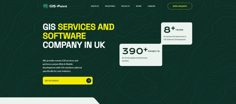
GIS-Point
- Core GIS Stack: ArcGIS, QGIS, AutoCAD, MapInfo, LiDAR, satellite imagery, analog maps, planimetry, SHP, GeoJSON, KML, CSV, DWG, DXF, GeoTIFF
- Team: 10 – 49 employees
- Founded: 2017
- Location: Ukraine, England, Estonia
GIS-Point is a software development company that specializes in two main business directions.
The first is custom software for organizations seeking to implement GIS in their operations. This includes mapping services, navigation systems, asset management tools, and geospatial analytics platforms.
The other direction is processing and analyzing geospatial data. This part is targeted at businesses that deal with large volumes of geographic information. Besides, GIS-Point helps companies complement their in-house staff by building remote GIS teams.
Over 15 years of experience and unique geodesy and geology expertise facilitate the efficiency of GIS-Point’s services, including LiDAR mobile mapping and aerial LiDAR surveys, satellite imagery processing, GIS data management, and more.
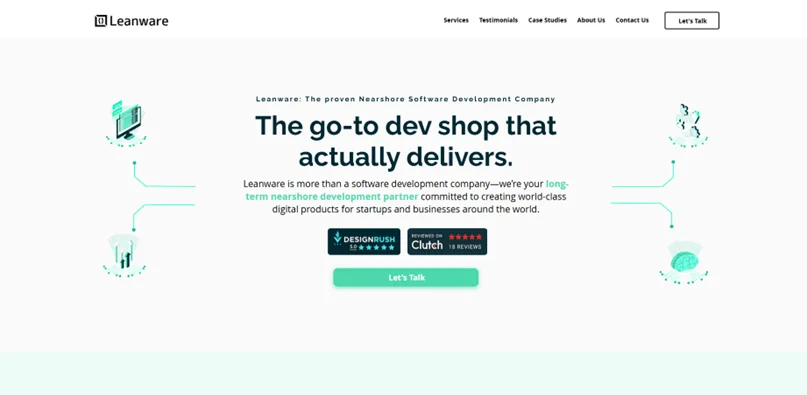
Leanware
- Core GIS Stack: AI-powered spatial analytics and predictive modelling, ArcGIS, QGIS, AutoCAD, MapInfo
- Team: 25-50 employees
- Founded: 2020
- Location: Latin America with US operations
Leanware is a comprehensive software development provider, with GIS solutions being one of its primary focuses.
With specialized expertise and a holistic approach, the company delivers solutions for businesses and startups all over the world. The Leanware team develops GIS-focused web and mobile applications, data engineering solutions, and UX/UI design.
Leveraging AI in their development processes, Leanware experts raise the bar for code quality, quick deliveries, and lasting outcomes. Their flexible cooperation model allows customers to optimize the balance between value and costs.
To wrap up, choosing the development partner is one of the most significant investments for a company operating in the geospatial market. The key factors leading to successful partnerships include relevant experience, deep domain knowledge, transparent pricing, and a result-driven approach. The list of the best geospatial software companies can narrow down your choice. Apart from that, you should also ground your decision on the specific project and business needs to turn the partnership into your strategic advantage.